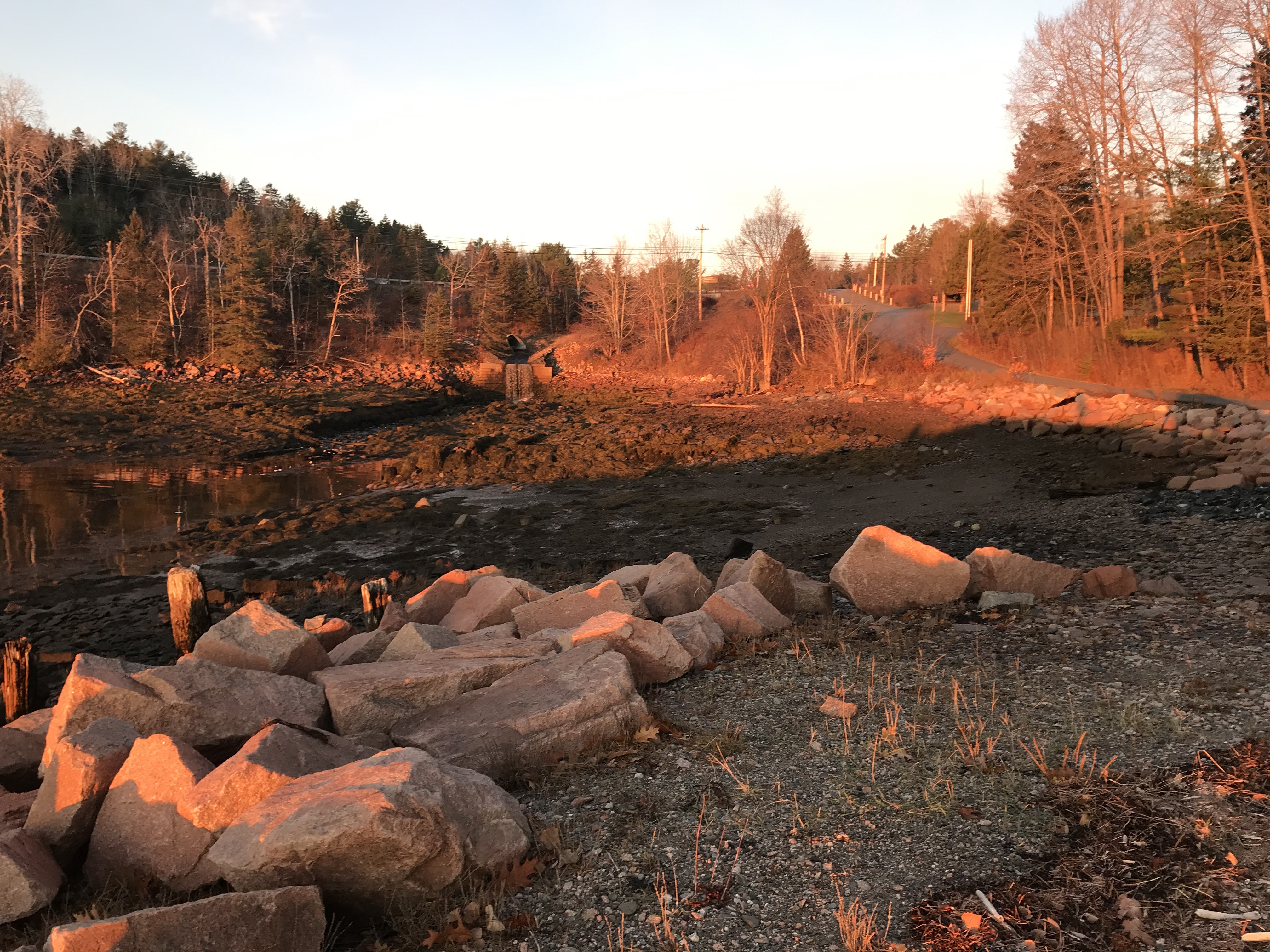
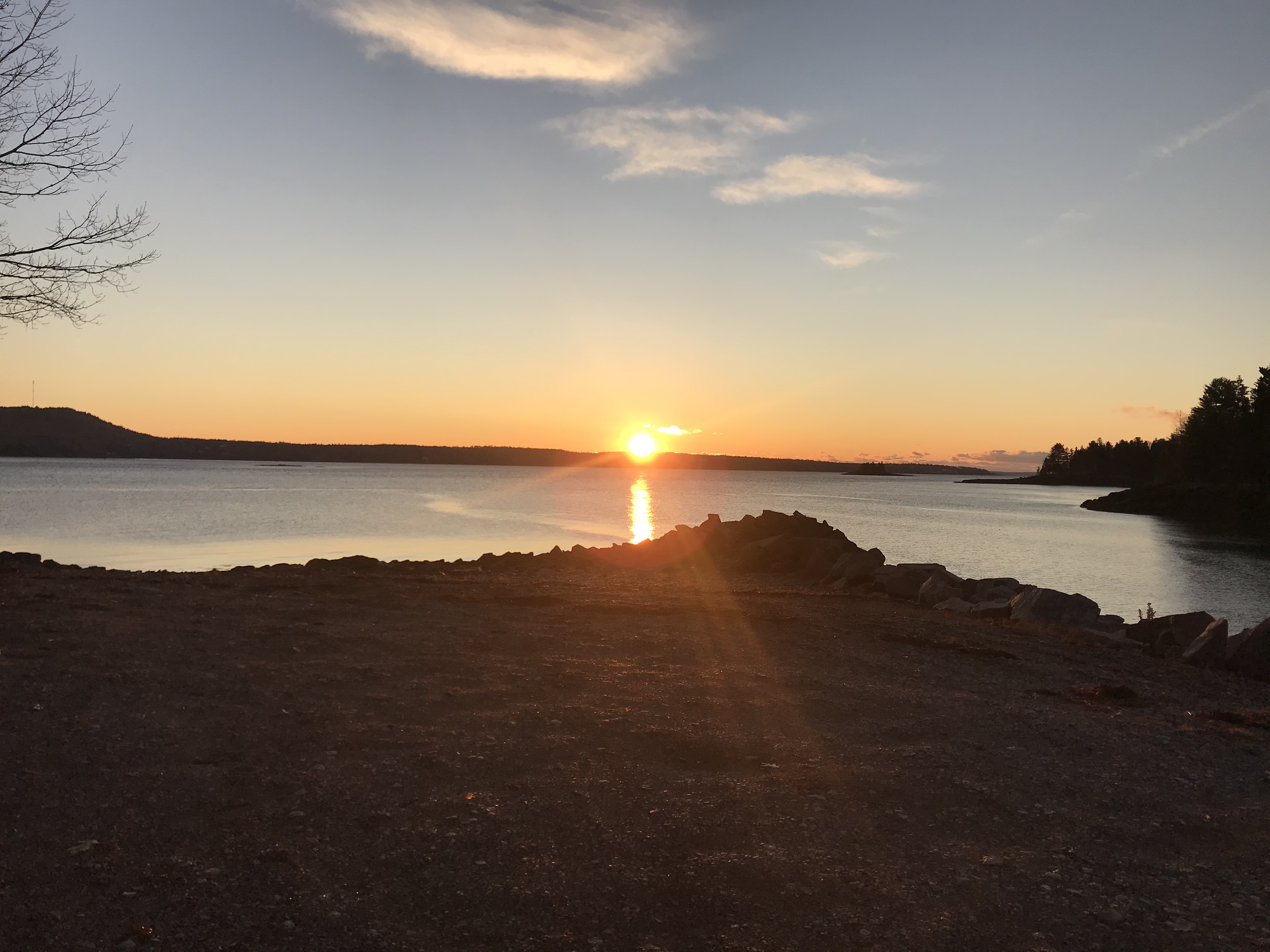
The sun is up over the horizon. From this angle the shore looks dark. By the time the sun is visible at the St. Croix Island historic site near Calais, Maine, the rocks look pink or orange-reddish. This is where the booming harbor town of Red Beach, Maine was located in the late 1800’s. It had a granite quarry and a plaster mill, granite polishing works and a harbor full of ships to move the plaster and the polished granite. Builders used pink granite from this area to construct the American Museum of Natural History in New York City.
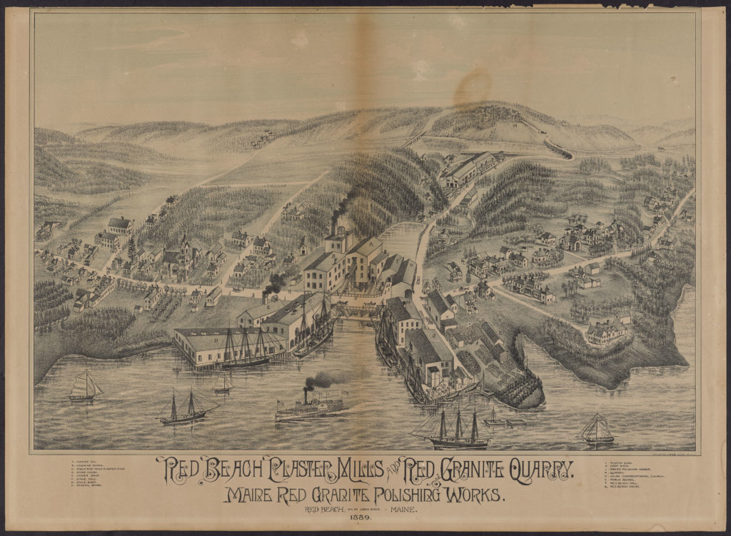
This lovely picture of the flourishing little town comes from an old postcard. According to Mary Ross Lane’s account of the industrial port town of Red Beach on the St. Croix River, the workers weren’t paid in money, but in trade.
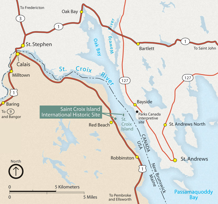
We arrived in Calais on Route 1 from the North very early in the morning and almost ended up going over the Canadian border – but not intentionally, due to the fact that Route 1 has a couple of different iterations going around Calais and there are several border crossing points right in the middle of the little town. Eight miles south of Calais is the historic site of the harbor town of Red Beach where these red rocks are red at sunrise. The above National Park Service map shows the St. Croix River flowing south into Passamaquoddy Bay with the International Historic St. Croix Island site. There are not supposed to be any human inhabitants on St. Croix Island, and the National Park Service discourages visits, presumably because of archaelogical remains of the Passamaquoddy hunter gatherer tribes, as well as of early French explorers (Samuel de Champlain) who arrived there in the early 1600’s.
Via route one and State Road 190 and 17 miles south of the International Historic Site at St. Croix Island is Pleasant Point where the Passamaquoddy people reside with checkpoints at entry roads and a working museum preserving tribal traditions.
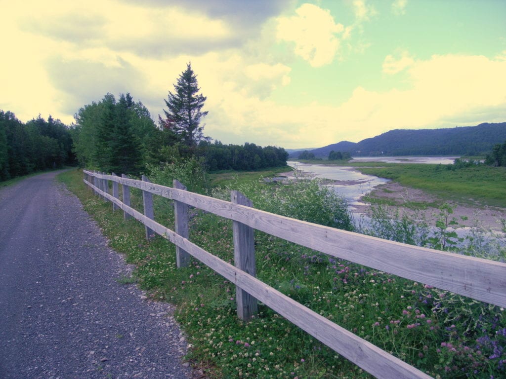
Here you can find the Sipayik rail-trail which the Passamaquoddy tribe at Pleasant Point built in 2004 in a decommissioned Maine Central railbed that was previously used for the sardine canning industry. Bicycle New England provided this lovely photo of the trail that winds for almost 2 miles along the Passamaquoddy Bay. Both the article and Traillink provide additional information.
The federally-recognized Passamaquoddy tribe, known as Sipayik in their language, has a well developed website with current and historical information, including detailed maps such as the homeland map, Pleasant Point shaded relief maps of the area, and maps of tribal lands in trust in Maine. The site also contains valuable documents of the history of the Wabanaki peoples (the Wabanaki Confederacy referring to a group of tribal peoples) and information about the history of the Passaquoddy language, and about plans to protect the gathering of marine resources by the Passamaquoddy tribe.
Eastport was a major center for sardine canneries from 1875 to the mid-20th century. This 1911 photo taken of a man and two boys working in a sardine cannery in Eastport, Maine – across the causeway from Pleasant Point – was taken by Lewis Wickes Hine who worked for the National Child Labor Committee which was lobbying to end the practice of child labor.
.jpg/1200px-Boys_working_in_Sardine_Cannery%2C_Eastport%2C_Maine_-_Aug._(5710936111).jpg)
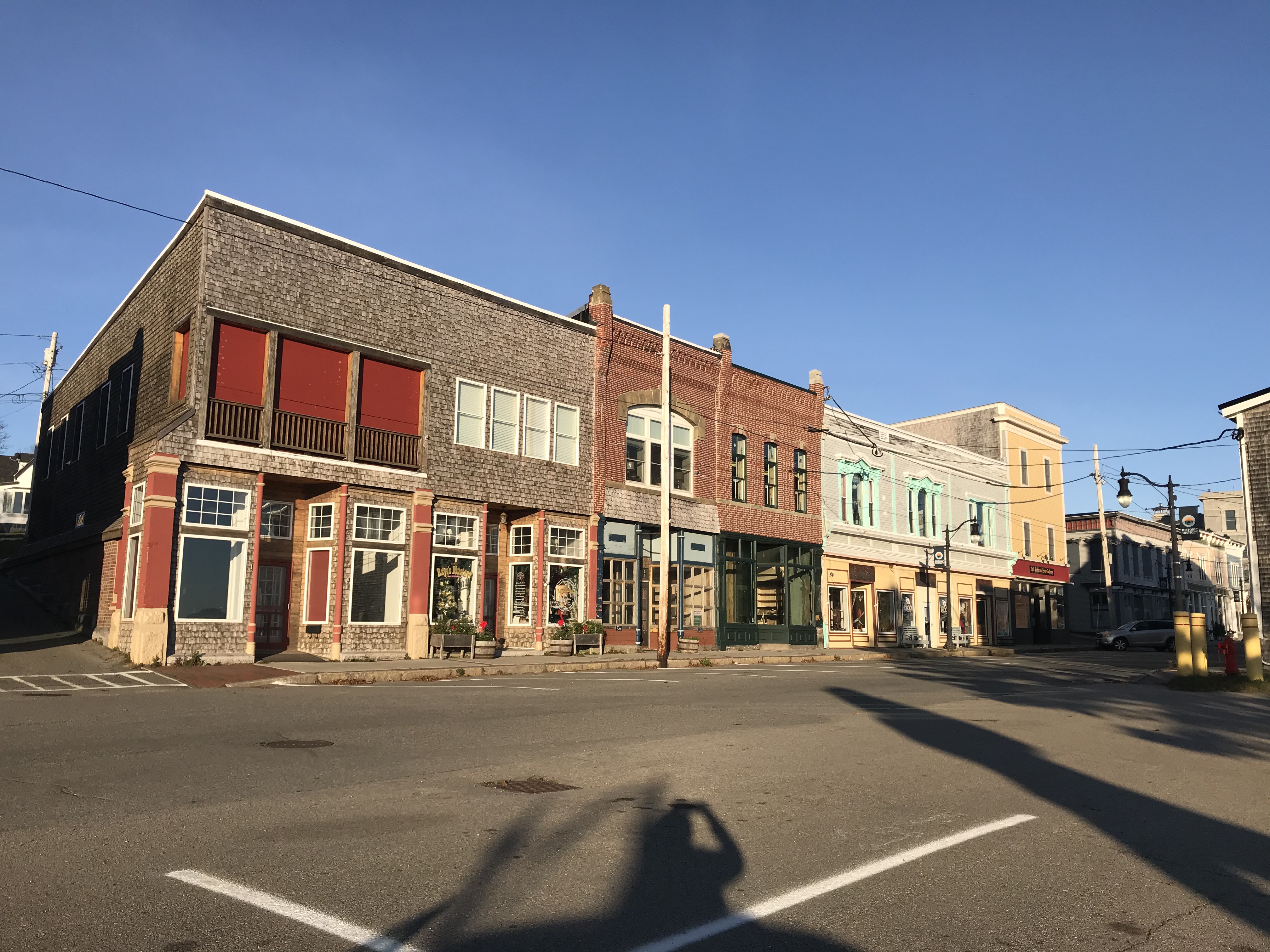
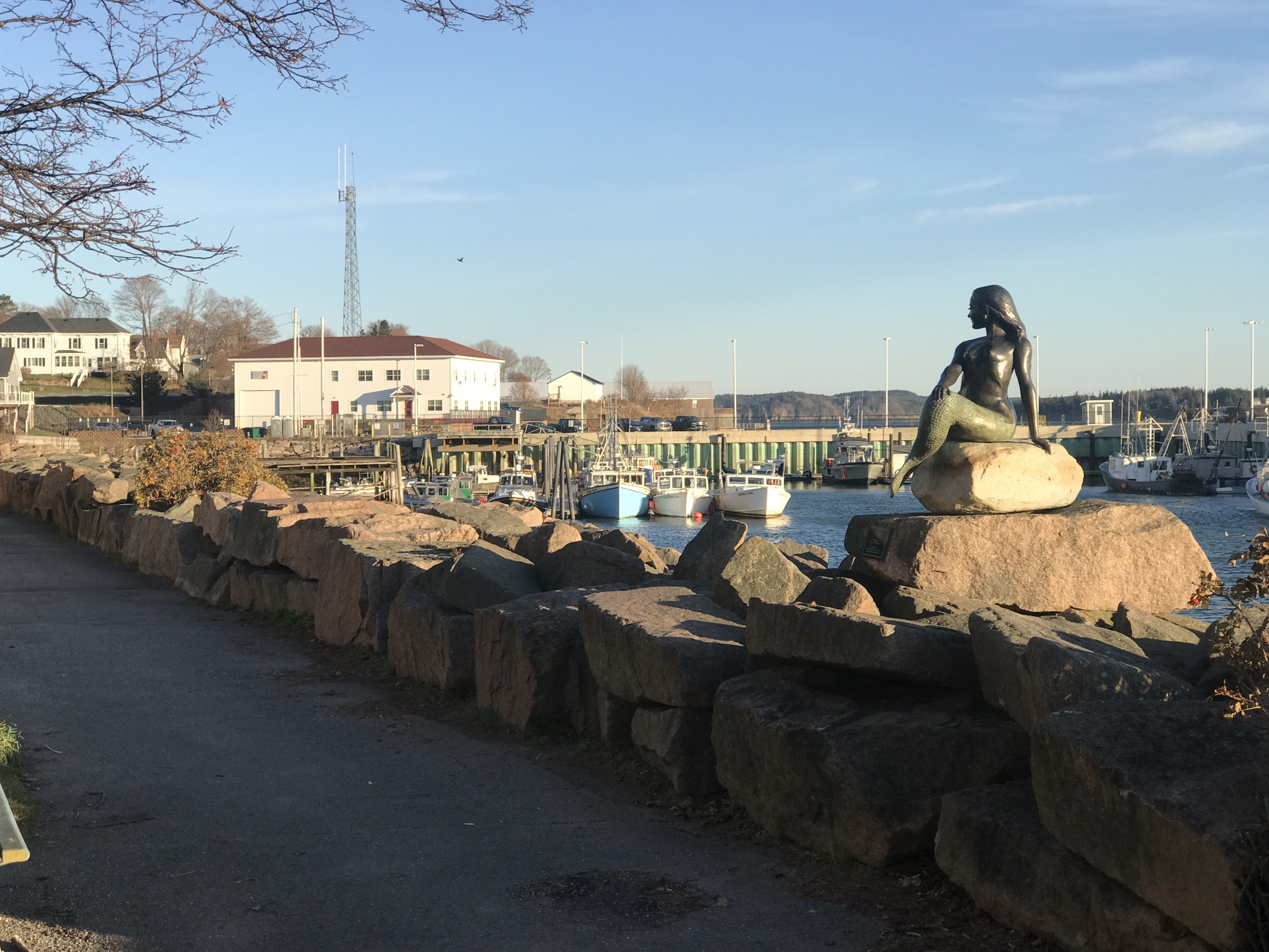
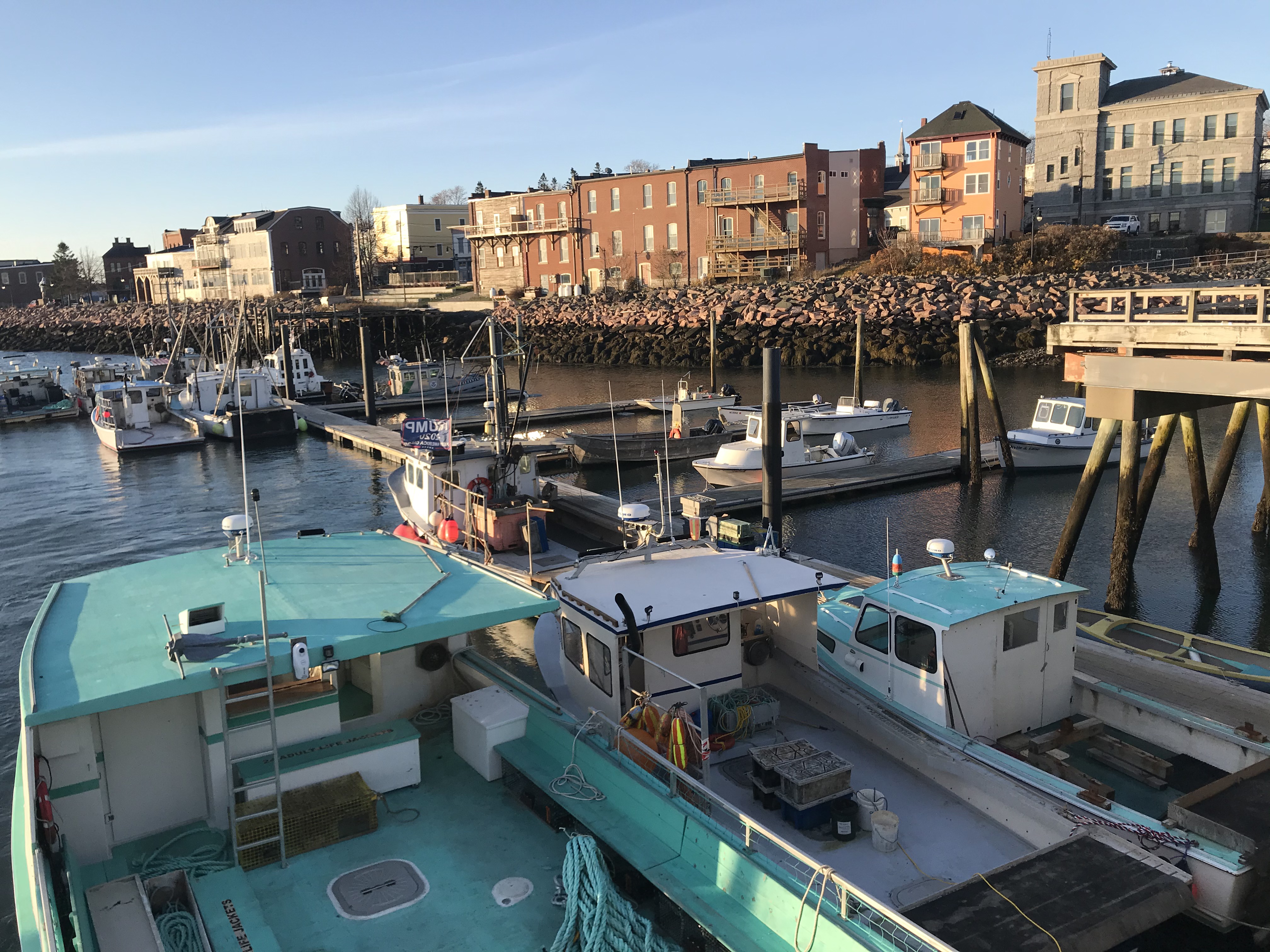
The city of Eastport across the causeway is a tiny little community with various attractive stores and a well-maintained port on the Passamaquoddy bay. It is the Eastern-most city and the Eastern-most deep-water port in the United States, connecting by water with the smallest town (not city, that is) of Lubec – which is even farther East. Eastport has a small safe-looking harbor for small-craft and fishing boats, as well as a marina, and it is a customs port of entry.
